Tristan Gingras-Hill M.Sc., GIS pg.D.
Natural Resources & GIS Professional
Experienced in GIS Software, Remote Sensing & Lidar, Web Mapping, Fieldwork, Instrumentation & Calibration and Emergency Response
Learn more

About me

Why I chose this profession & my career objectives

The begining

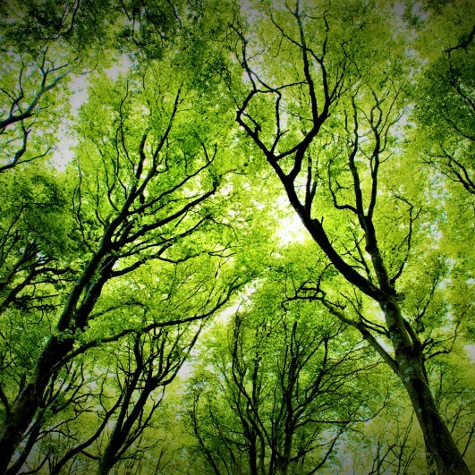
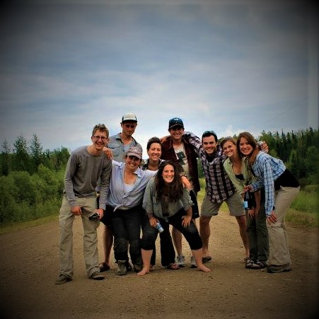
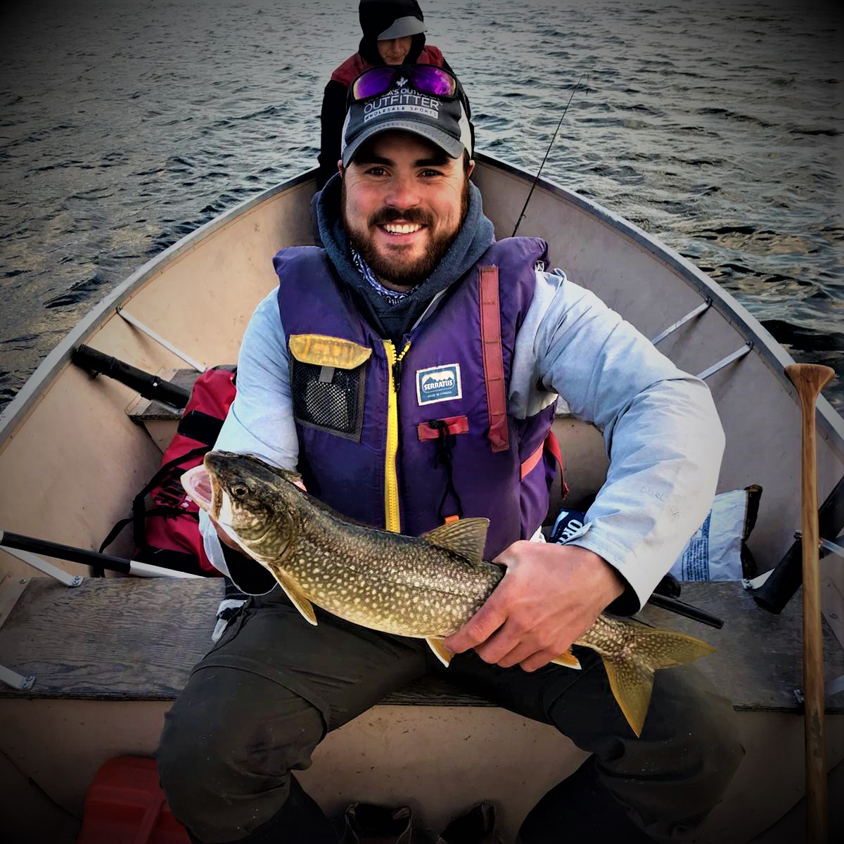
As a child, I grew up loving the outdoors. My fondest childhood memories revolve around hiking, camping and portaging with my family. This love for the outdoors followed me to the University of Sherbrooke where I completed a B.Sc. in Biology with a specialization in Ecology. The University of Sherbrooke's work placements eventually brought me to work in Fort McMurray as a research assistant with the University of Waterloo. After developing a strong relationship with the Hydrometeorology Research Group, the opportunity to enroll in graduate school presented itself and I jumped on board with the appeal of a fully-funded research project.

Early career

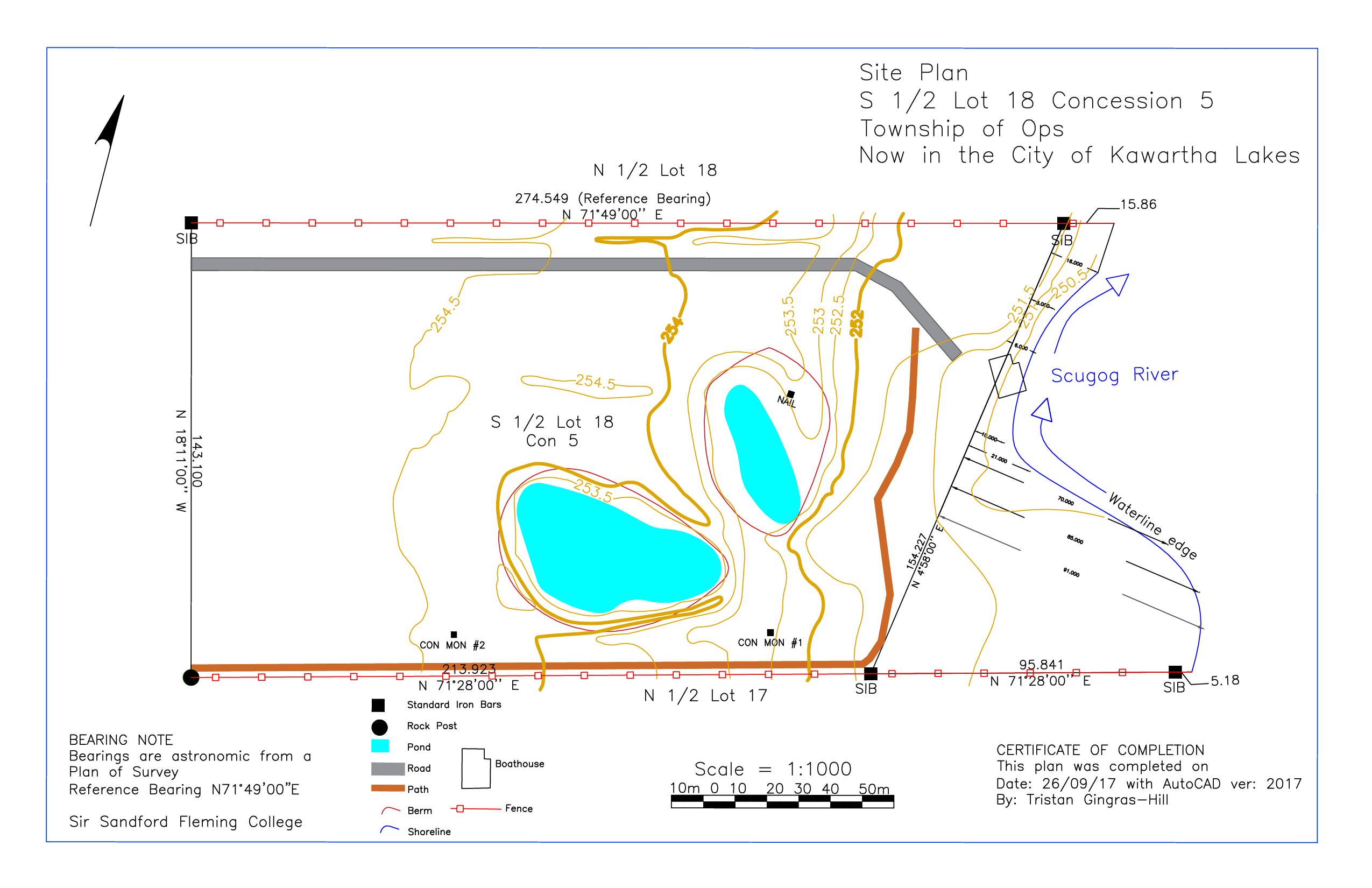
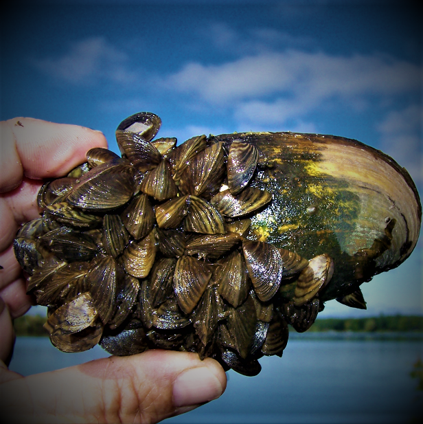
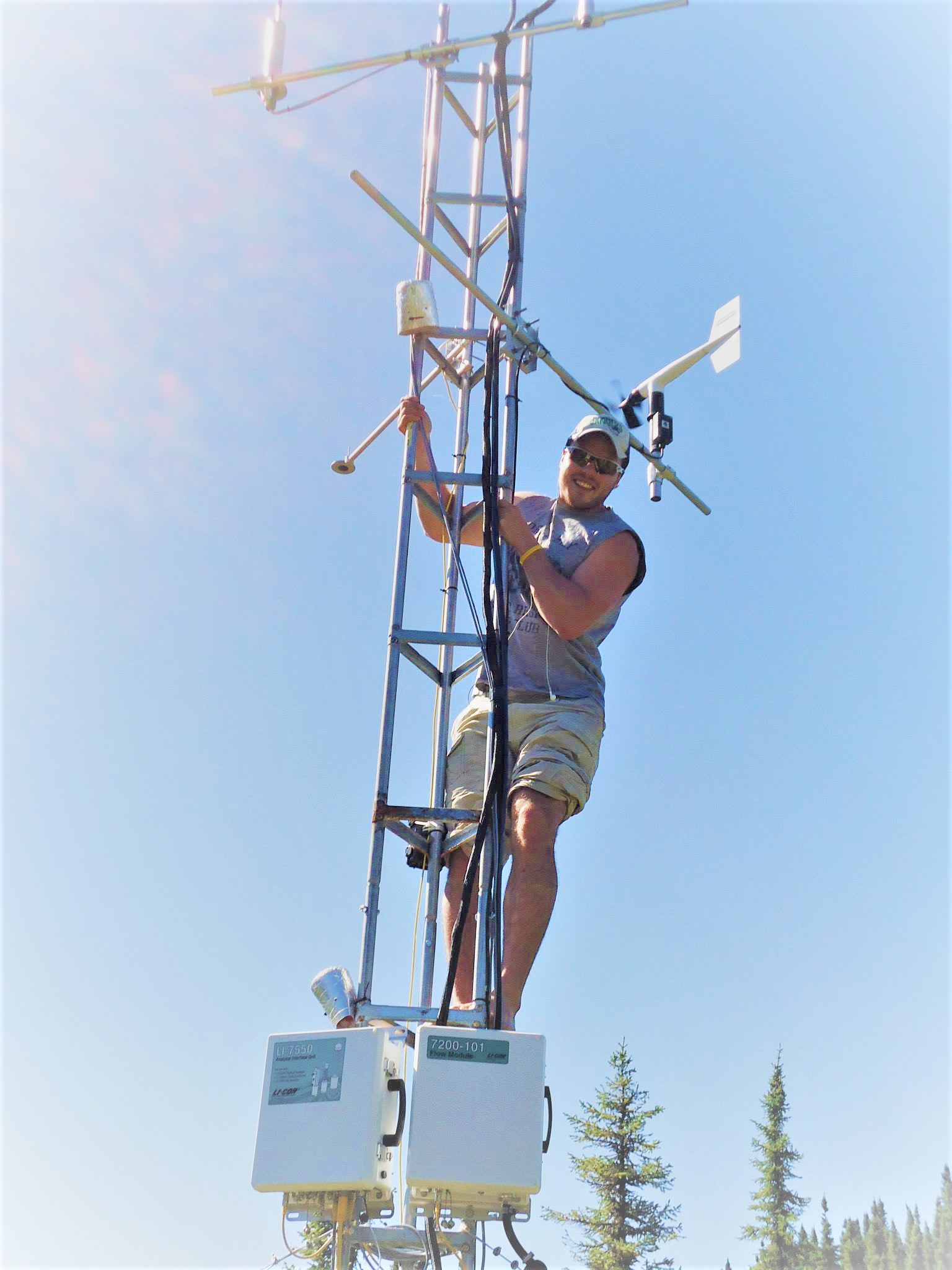
Following the completion of my thesis, where my research objectives focused on soil reclamation in the Athabasca Oil Sands Region, I received contracts throughout Canada, working as a Research Biologist. Coming to the realization that the demand within the environmental sector is becoming increasingly dependant on one’s abilities in regard to Geographical Information Systems and Database Management, I decided to jump on the bandwagon and enrolled in the GIS Application Specialists program at Sir Sandford Fleming College. This program was extremely challenging yet rewarding, receiving very applicable knowledge from highly trained professionals.

Present & Future

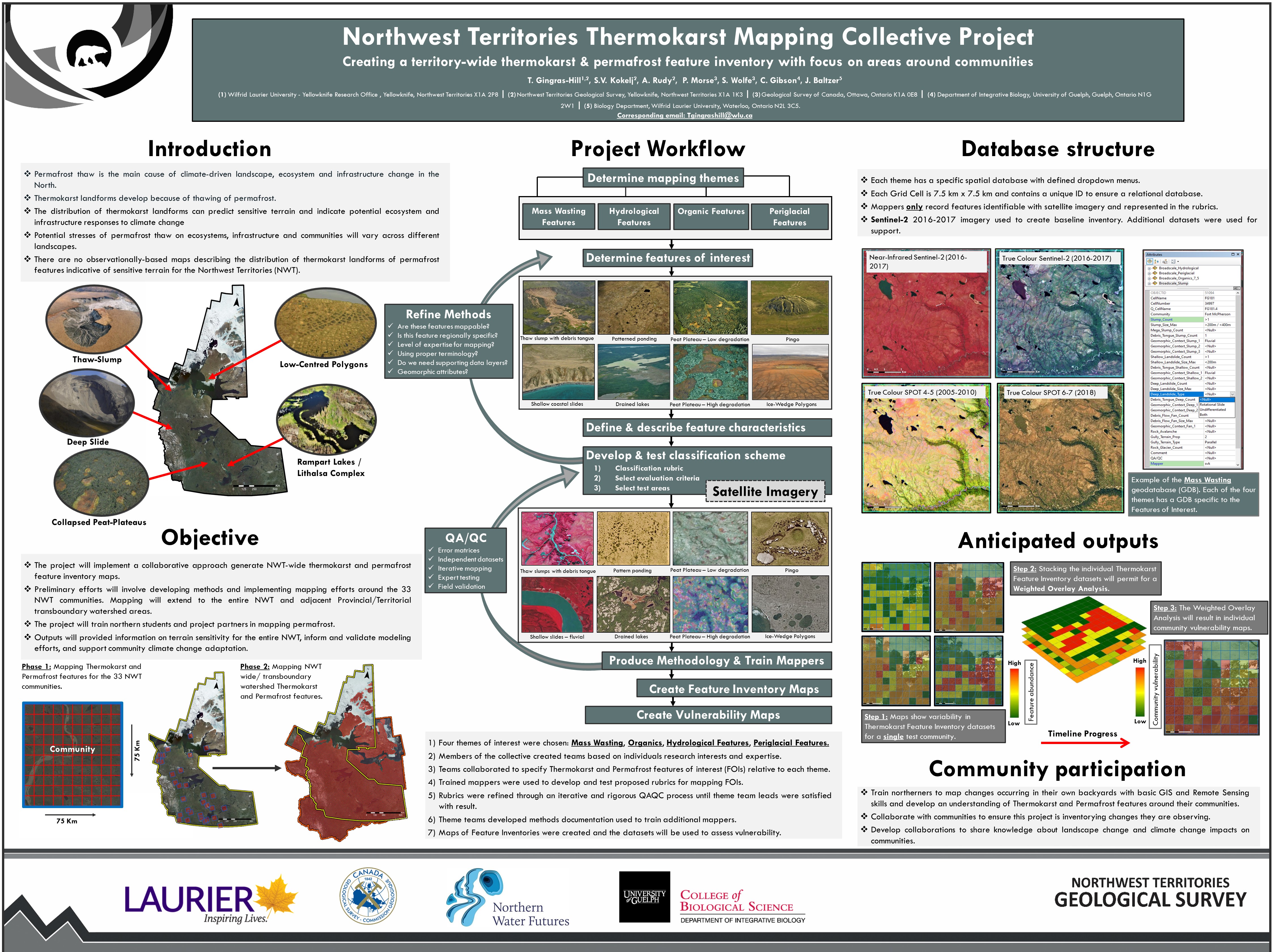
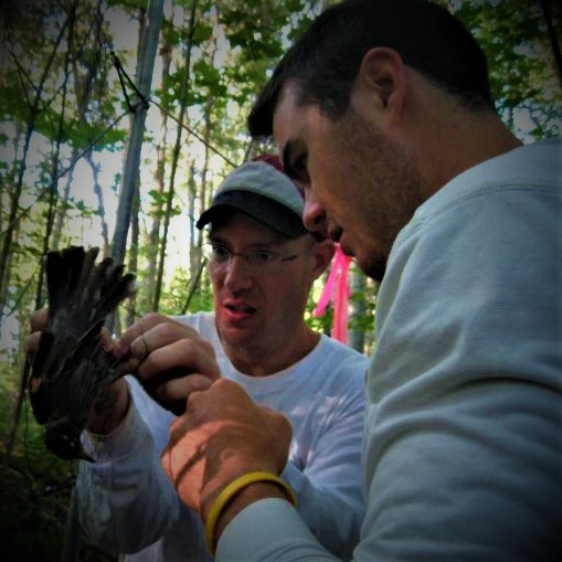
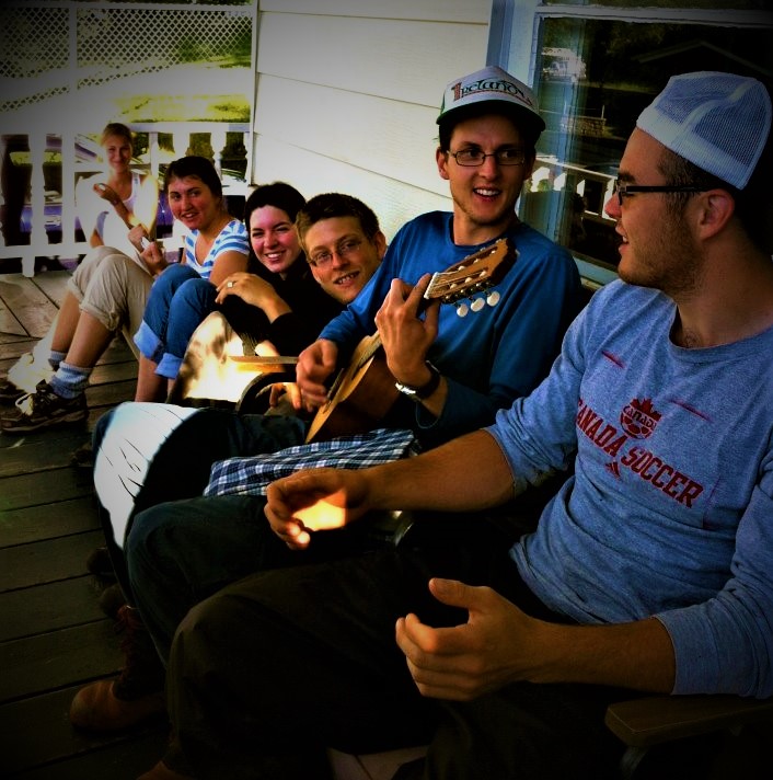
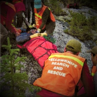
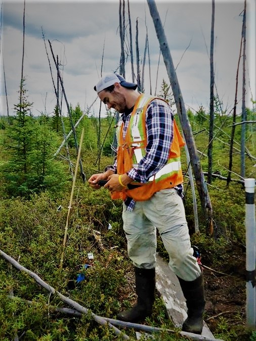
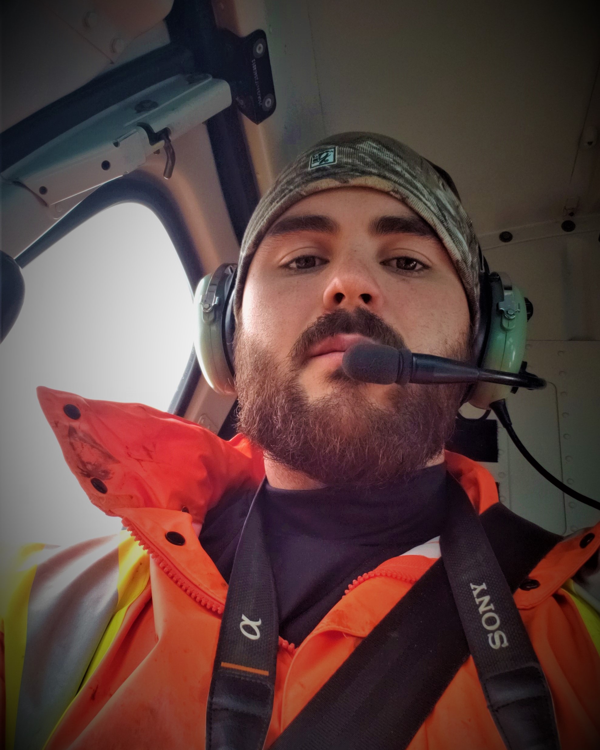
After completing my GIS diploma, I worked in Quebec’s forestry industry as well as throughout the Northwest Territories overlooking Permafrost mapping and susceptibility. When I'm not working, I enjoy spending time with my family and staying active. As my expertise continues to grow, I focus mainly on projects where I can combine my skills and knowledge of GIS development with environmental fieldwork to better protect Canadian Wilderness by allowing humans to benefit from a healthy outdoor lifestyle, while also allowing the wild to remain wild.

My interactive WebMap

Click the incons to learn more about my Education & Professional Work Experiences

Portfolio

Comme see some of my GIS products.

Habitat Suitability Model

Wildlife Monitoring

Least-Cost Past Analysis

Wildlife Monitoring

Haliburton Forest & Wildlife Reserve Database Management

Forest Planning Inventory

Community vulnerability mapping

Community risk assesment & adaptation

Geographically Weighted Regression Modeling

Population Census

Infrastructure Risk Mapping

Community risk assesment & adaptation

Road Mapping

Municipal Mapping

Tourism Mapping

Municipal Mapping

Site Planning & Surveying

Municipal Mapping

Curriculum Vitae

PDF version available in English or in French

Professional Experiences

  • GIS Technical Solutions Specialist

    Esri Canada

    February 2022 - Current

    Quebec city, Quebec
    • Developing proof of concepts for clients demonstrating how Esri products can help support their buisness needs through geospatial capabilities.
    • Deploying ArcGIS Enterprise systems and enterprise geodatabases and supporting clients through best practices and ongoing technical support
  • GIS analyst / Field biologist

    Pesca Environnement

    April 2021 - February 2022

    Quebec city, Quebec
    • Coordination of various datasets pre- and/or post-field campaigns using ESRI software and applications such as ArcGIS 10.8, ArcGIS Pro 2.8, Survey123, Dashboards, Field Maps and ArcGIS Online.
    • Development of various automated spatial analytics for optimization of environmental impact assessments including forest road planning, wind farm development, wetland classification and field crew mobilization.
    • Automation through python scripts to download the most up-to-date open datasets through ftp websites and various government portals.
  • Permafrost Mapping Project Coordinator

    Northwest Territories Geological Survey

    February 2019 - Current

    Yellowknife, NWT
    • Collaboration between academics, government officials (Territorial & Federal), First Nations and industry to update cartographic representations and spatial databases for permafrost distribution throughout the NWT. Emphasis placed on risk assessments for the 33 communities of the NWT, to determine which communities are most at risk from permafrost thaw. Primary software used include: Google Earth Engine (JavaScript Library), ArcGIS 10.6 and ArcGIS Pro 2.2.
    • Integration, development, and management of spatial databases (PostgreSQL, PostGIS) and servers, to facilitate data sharing amongst collaborators to ensure the interoperability of various data formats for proprietary software usage (ESRI, PCI Geomatics) and open-source software (QGIS, Google Earth, Leaflet).
    • Administration of an ArcGIS online / Portal for ArcGIS account and the development of data collection surveys (Survey123), for ground truthing data and planning aerial surveys.
    • Lead-instructor for GIS courses in small indigenous communities throughout the NWT to build collaborative partnerships for ground truthing remote sensing data with land users in remote areas (see CBC article).
  • NSERC Engage Grant Project Coordinator

    Laval University - Faculty of Forestry, Geography & Geomatics

    Semptember 2018 - February 2019 (contract)

    Quebec City, Quebec
    • Coordinated an NSERC Engage Grant between Resolute Forest Products, the provincial ministry of Forest, Wildlife & Parks and Laval University.
    • Collaborated between partners to improve the efficiency of Lidar within Quebec's forestry sector for better predicting harvest volumes within harvest stands.
    • Completed data Quality Assurance and Quality Control (using SQL) within a normalized database structure (.i.e. MS Access & ArcGIS Desktop) and determined that Lidar precision is reduced in mixed and deciduous forest stands, where timber appears to be under-estimated.
  • GIS Application Specialist Intern

    Haliburton Forest & Wildlife Reserve

    January 2018 - June 2018 (internship)

    Haliburton, Ontario
    • Ensured maximum Quality Assurance with respect to a well-organized file geodatabase to be used for sustainable forestry practices and the development of protected areas determined through spatial analysis using a variety of GIS software (. e.g. Enterprise geodatabase, ArcMap 10.5, ArcGIS Pro, QGIS).
    • Development of an interactive web map template (leaflet Javascript API), displaying areas of recreational activities and conservation.
  • Fieldworker – Data Collection - Aquatic Invasive Species Prevention

    Alberta Parks

    May 2017 - August 2017 (contract)

    Lethbridge, Alberta
    • Developed surveys and collected data on benthic invertebrates and water quality to assess potential risks and the health of various aquatic ecosystems through means of spatial analyses throughout southern Alberta.
    • Data collection and management using ESRI’s ArcGIS Collector application.
  • Forest Biologist

    Natural Resources Canada

    January 2017 - April 2017 (contract)

    Sault Ste Marie, Ontario
    • Created a database compiling pioneer flora and fauna species colonizing reclaimed open-pit mines.
    • Analyzed and compared the environmental impacts of mining in Alberta, Quebec and Ontario.
  • Teaching Assistant

    University of Waterloo

    September 2014 - December 2016

    Waterloo, Ontario/ Fort McMurray, Alberta
    • Mentored undergraduate students in a variety of disciplines including environmental statistics (ENVS 278), physical geography (GEOM 103) and field ecology (ENVS 200), giving lectures in front of entire auditoriums.

Education

  • GIS Application Specialist - Post Graduate Diploma

    Fleming College

    Graduated 2018

    Lindsay, Ontario
    • Intensive program with an emphasis on developing a core understanding of ArcGIS and other ESRI software. Additional emphasis on developing fundamental data management skills (e.g. Microsoft Access), coupled with a strong proficiency in various programming languages (i.e. SQL, Python, HTML, CSS & JavaScript).
  • M.Sc. Geography & Environmental Management

    University of Waterloo

    Graduated 2016

    Waterloo, Ontario/ Fort McMurray, Alberta
    • Research-based thesis investigating the successful trajectories of forested uplands undergoing reclamation within a reconstructed watershed in the Athabasca Oil Sands Region. Successfully conducted sampling protocols to collect hydrological, biogeochemical, ecological and meteorological data in remote outdoor locations. Raw data was processed and analyzed using statistical software (.e.g. Rstudio).
    • Collaborated with Industry, Stakeholders, First Nations, and Scientists through various conferences, summarised documents, presentations and a Peer-reviewed journal.
  • B.Sc. Biology

    University of Sherbrooke

    Graduated 2013

    Sherbrooke, Quebec
    • Introduction to database management (.e.g. Microsoft Access), data manipulation (.e.g. R studio, SPSS, Excel) and spatial datasets (.e.g. ArcGIS, PCI Geomatics).

Certifications, Awards & Skills

  • Certifications

    • PADI diving certifications
    • Valid driver's license
    • PAL Firearms acquisition license
    • Mine awarness (ALS Inc©)
    • H2S awarness(Suncor©)
    • Wilderness First Aid (Yellowknife Search & Rescue -Arctic Response©)
    • GPS Manipulation (Yellowknife Search & Rescue -Arctic Response©)
    • Pleasure Craft Operator
  • Awards

    • Fleming College Honour Roll (2017-2018).
    • Environmental Studies Graduate Experience Award (2014-2016) - University of Waterloo.
    • The president's Athlete Academic Honor Roll (2014-2015) - University of Waterloo
    • Student-Athlete Scholarship from the U de S foundation (2011-2013) - Université de Sherbrooke.
  • Additional Skills

    • 100% fluent in French & English.
    • Hydrological sampling including: Well installation/ monitoring with tools such as piezometers and data loggers.
    • Statistical analyses using a variety of platforms (i.e.Excel, Rstudio, SPSS) and the hability to quickly learn programming languagues.
    • Strong interest in fieldwork, under a variety of conditions including remote northern locations for extended periods of time with limited resources.
    • Vegetation sampling regarding several types of protocols (.e.g. VSP) representing the Western Boreal Plain Flora and Southern Ontario Flora in a range of ecosystems including wetlands, forestlands, and reclaimed systems.
    • Strong grasp of ESRI products including ArcMap, ArcGIS online, ArcGIS pro, and advanced knowledge of various programming languages (SQL, HTML, CSS, Javascript, VBA).

Contact Us

Interested in communicating? Please leave me a message!

Email: tristangingrashill@gmail.com